LogoGeophysicsHub
  • Category
  • Tag
  • Pricing
  • Contributing
  • Blog
  • About
  • Search
LogoGeophysicsHub

Tag

Explore by tags

LogoGeophysicsHub

This is a site for geophysics researchers, the best navigation website for geophysics learning

GitHubX (Twitter)
Buy me a coffeeLogoBolyn
Product
  • Search
  • Category
  • Tag
Resources
  • Blog
  • Pricing
  • Submit
Company
  • About Us
  • Privacy Policy
  • Terms of Service
  • Sitemap
Copyright © 2025 All Rights Reserved.
  • All

  • Simulation

  • Africa

  • AGU

  • AI

  • Algorithms

  • Ambient Noise

  • Applied Geophysics

  • Asia

  • Atmospheric

  • Atmospheric Dynamics

  • Atmospheric Sciences

  • Auroral Physics

  • Australia

  • Beginner Friendly

  • Big Data Analysis

  • Biogeochemical

  • Biogeochemistry

  • Biosensors

  • Blogs

  • Books

  • Borehole Logging

  • C / C Plus

  • Canada

  • Career

  • Chemistry

  • China

  • Chinese

  • Climate Dynamics

  • Climate Physics

  • Climatology

  • Computational Geosciences

  • Computational Mathematics

  • Computer Science

  • Containerization

  • Continent-Ocean Transition

  • Continental Margins

  • C/C++

  • Crustal Deformation

  • Data Analysis

  • Data Assimilation

  • Data-Driven Methods

  • Data Inversion

  • Deep Ocean Basins

  • Deep-Sea Sedimentation

  • Deployment

  • DevOps

  • Docker

  • Earth Radiation

  • Earth's Internal Structure

  • Earth Science

  • Earth System

  • Earth System Interactions

  • Earthquake Engineering

  • Education

  • Electrical

  • Electromagnetic

  • Electromagnetic Methods

  • Engineering Geophysics

  • English

  • Environmental Geophysics

  • Environmental Monitoring

  • Europe

  • Event Catalog

  • Exploration Geophysics

  • Fatiando a Terra

  • Focal Mechanism

  • Fortran

  • Forward Modeling

  • France

  • Full Waveform

  • Full Waveform Inversion

  • Geodetic Networks

  • Geodynamics

  • Geohazard Assessment

  • Geoinformatics

  • Geologic Time

  • Geomagnetic Field

  • Geomagnetism

  • Geophysical Computing

  • Geophysical Methods

  • Geophysical Services

  • Geoscientific Data

  • Geoscientific Modeling

  • Germany

  • GIS

  • GitHub

  • Global

  • GMT

  • Government

  • Gravimetry

  • Gravity

  • Gravity Fields

  • Gravity Prospecting

  • Groundwater Detection

  • High-Performance Computing

  • Hong Kong

  • Hydrogeophysical

  • IDE

  • India

  • Industry

  • Instrumentation

  • Interdisciplinary Research

  • Inversion

  • Ionosphere

  • Ionospheric Physics

  • Italy

  • Japan

  • Job

  • Journal

  • Linux

  • LSRTM

  • Machine Learning

  • Madagascar

  • Magnetic

  • Magnetic Prospecting

  • Magnetosphere

  • Make

  • Map

  • Maping

  • Marine Ecosystems

  • Marine Geology

  • Marine Gravity

  • Mathematical Modeling

  • MATLAB

  • Meeting

  • Microservices

  • Mid-Ocean Ridges

  • Migration

  • Mineral Exploration

  • Moment Tensor

  • Multidisciplinary

  • Networks

  • Nonprofit

  • Norway

  • Numerical Modeling

  • Numerical Simulation

  • ObsPy

  • Ocean Dynamics

  • Ocean Exploration

  • Oceanic Crust Structure

  • Oceanography

  • Oil & Gas

  • Online Course

  • Open Source

  • Paper Supplement

  • Physical Oceanography

  • Planetary Geophysics

  • Planetary Internal Structure

  • Planetary Magnetism

  • Plate Tectonics

  • Plotting

  • Podcasts

  • Positioning

  • Program Laguage

  • Publications

  • Python

  • Remote Sensing

  • Resistivity

  • Russia

  • SAC

  • Satellite Meteorology

  • Seafloor Heat Flow

  • Seafloor Seismology

  • Seafloor Topography

  • Sedimentary Ocean Processes

  • Seismic

  • Seismic Data

  • Seismic Exploration

  • Seismic Wave Propagation Modeling

  • Seismology

  • SeisSol

  • Semitechnical

  • Sensor Technology

  • Sensors

  • Shallow Seismics

  • Shell

  • Signal Processing

  • Singapore

  • Social Media

  • Solar Activity

  • Solar Wind

  • Solid Earth

  • Southeast Asia

  • Space Sciences

  • Spatial Analysis

  • SPECFEM

  • Statistical Analysis

  • Structure

  • Subsurface Flow

  • Switzerland

  • Taiwan

  • Tech Company

  • Technical

  • Temporal Analysis

  • Theoretical Modeling

  • Travel Time

  • United Kingdom

  • Uncertainty Analysis

  • Uncertainty Assessment

  • University

  • United States

  • Velocity Model

  • Virtualization

  • Visualization

  • Volcanic Physics

  • Waveform

  • Wireless Sensor Networks

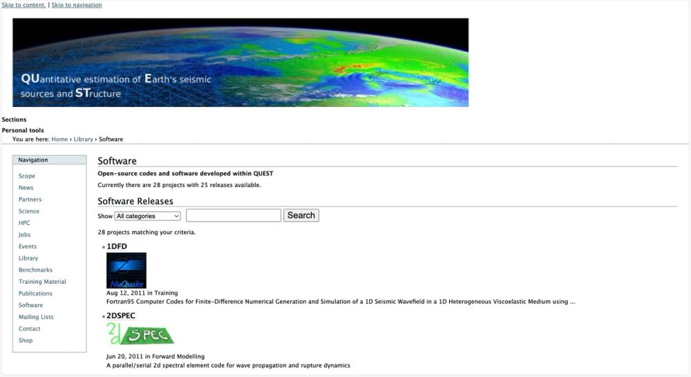
image of QUEST ITN Software
Software and ToolsModeling and ImagingComputational Geophysics / AISoftware centers
Visit Website

QUEST ITN Software

Details

Open-source software for geophysical modeling and simulation developed within QUEST ITN.
Seismic Wave Propagation ModelingForward ModelingInversionNumerical ModelingOpen Source+2
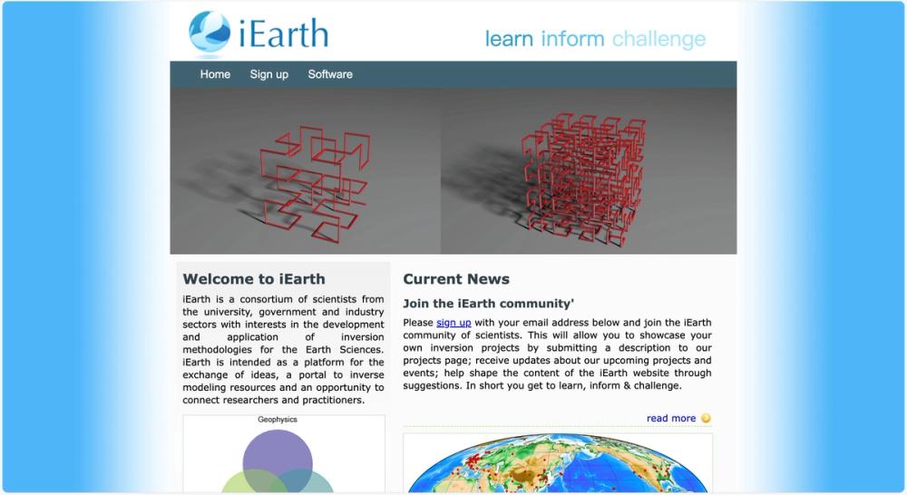
image of Inverse Earth - iEarth
Networks and CommunitiesModeling and ImagingComputational Geophysics / AISoftware centersSoftware and Tools
Visit Website

Inverse Earth - iEarth

Details

A platform for scientists to exchange ideas and access resources on inversion methodologies in Earth Sciences.
InversionGeoscientific ModelingComputational GeosciencesInterdisciplinary ResearchEarth Science+2
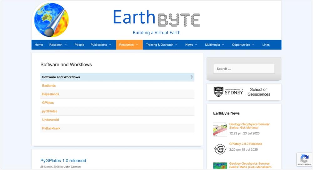
image of EarthByte Software and Workflows
Software and ToolsModeling and ImagingSoftware centers
Visit Website

EarthByte Software and Workflows

Details

EarthByte offers tools like GPlates for plate tectonics visualization, vital for geophysical research.
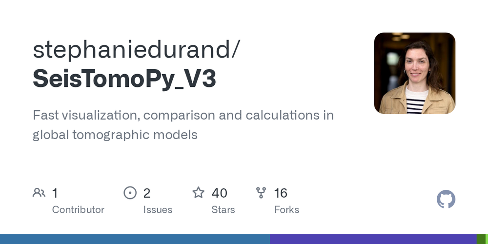
Plate TectonicsGeodynamicsNumerical ModelingVisualizationOpen Source+3
image of SeisTomoPy_V3
Software and ToolsData Visualization
Visit Website

SeisTomoPy_V3

Details

A Python tool for fast visualization and calculations in global tomographic models.

PythonSeismologyVisualizationComputational GeosciencesData Analysis+4
image of Geoscientific Model Development
All JournalsComputational Geophysics / AI
Visit Website

Geoscientific Model Development

Details

Geoscientific Model Development (GMD) is a peer-reviewed, open-access journal focused on the description, development, and evaluation of numerical models of the Earth system and its components.

Numerical Modeling Earth System InteractionsVelocity ModelForward ModelingMathematical Modeling+1
image of The Leading Edge
All JournalsExploration Geophysics
Visit Website

The Leading Edge

Details

The Leading Edge is a peer-reviewed journal by the Society of Exploration Geophysicists, focusing on applied geophysics with accessible, semitechnical articles on new theories, technologies, and practical applications.

Environmental GeophysicsData-Driven MethodsGeophysical MethodsMagnetosphereApplied Geophysics+4
image of Earth Science Informatics
All JournalsComputational Geophysics / AI
Visit Website

Earth Science Informatics

Details

Earth Science Informatics is a peer-reviewed journal focusing on rapid publication of high-quality, cutting-edge research in computational and informatics applications within Earth and space sciences.

Velocity ModelNumerical ModelingMathematical ModelingGeoscientific ModelingHigh-Performance Computing+6
  • Previous
  • 1
  • Next