USGS Earthquake Catalog API
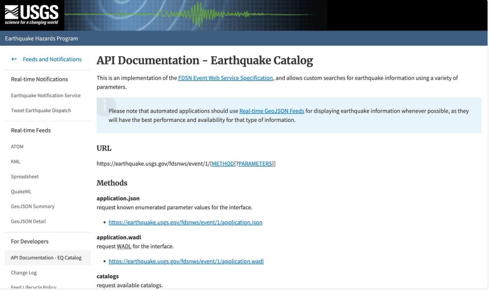
The USGS Earthquake Catalog API, provided by the U.S. Geological Survey, offers a robust implementation of the FDSN Event Web Service Specification. This API enables users to perform custom searches for earthquake information using a wide array of parameters, catering to researchers, developers, and emergency response teams.
Key Features
- Multiple Methods: Supports various methods like
query,count,catalogs, andcontributorsto retrieve specific earthquake data or metadata. - Flexible Formats: Outputs data in multiple formats including GeoJSON, KML, CSV, XML, and plain text, with customization options for each.
- Comprehensive Parameters: Allows filtering by time, location (rectangular or circular areas), magnitude, depth, and other specific criteria like PAGER alert levels and event types.
- Real-time Data Access: Encourages the use of Real-time GeoJSON Feeds for optimal performance in displaying current earthquake information.
- Developer-Friendly: Provides detailed documentation and examples for integration into automated applications.
Use Cases
- Research and Analysis: Ideal for seismologists and geophysicists analyzing earthquake patterns and historical data.
- Emergency Management: Supports disaster response teams in accessing real-time earthquake data for rapid decision-making.
- Application Development: Enables developers to build tools and apps for public awareness and education on earthquake hazards.
This API stands out for its depth of data, customization capabilities, and direct support from a leading geological authority, making it a critical resource for both scientific and practical applications.


